
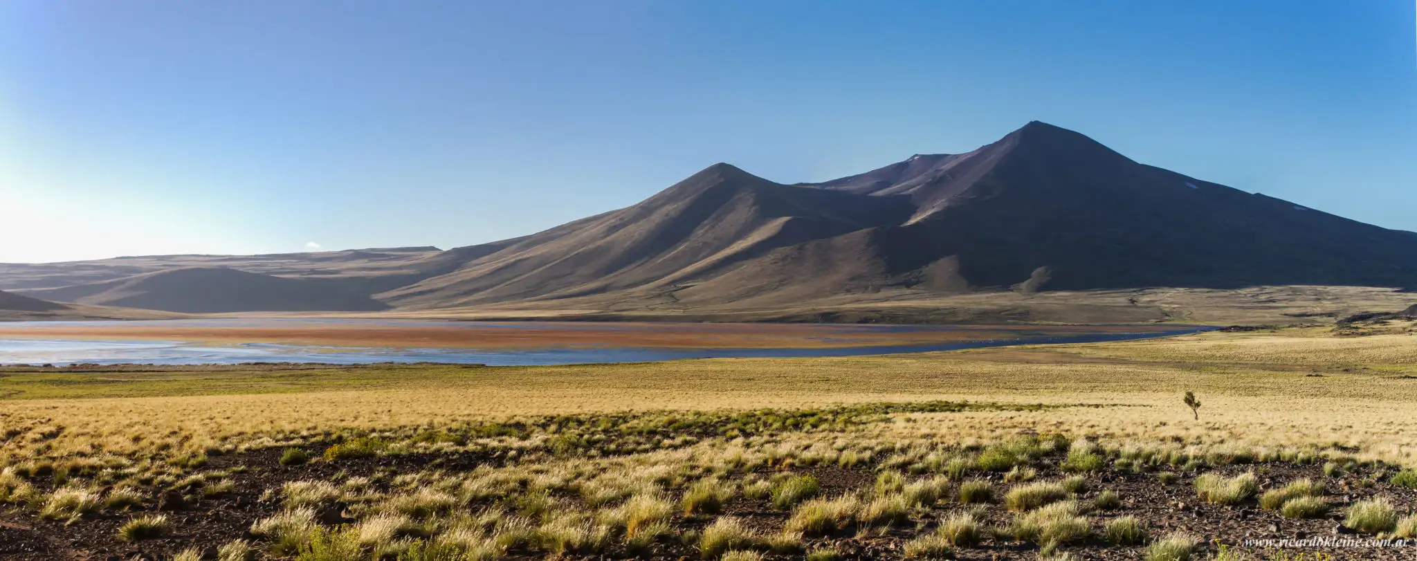
Neuquén’s hiking capital
Trails
Huinganco is the province’s hiking capital, and for good reason: waymarked trails of every level start right from the village, many less than 5 km from the cabins.
Some take twenty minutes and make for a gentle afternoon; others are full-day climbs, like La Corona hill, which crowns the village at 2,990 metres. Below is the key information for each one. Check the forecast before setting out, and let us know where you are heading.
These details are published by huinganco.com.ar. Before taking on the mountain trails, check the weather and trail conditions with the Tourist Office. The ascent of La Corona hill requires prior registration.
Trails
-
Benito Márquez Forest Canal
500 m from Huinganco
Easy- Distance
- 2,94 km ida
- Time
- 46 min ida
- Elevation gain
- 113 m
- Altitude
- 1,305 msnm
- Season
- All year round
Trailhead: Forest woodland, foot of San Pedro hill
Finish: Foot of San Pedro hill, on Rogelio Figueroa road -
Sergio Campos
550 m from Huinganco
Easy - moderate- Distance
- 0,47 km ida
- Time
- 15 min ida
- Elevation gain
- 60 m
- Altitude
- 1,245 msnm
- Season
- All year round
Trailhead: Juan Basilio Soto street and Huinganco stream
Finish: Los Pinos street -
San Pedro Hill
750 m from Huinganco
Easy - moderate- Distance
- 890 m ida
- Time
- 30 min ida
- Elevation gain
- 144 m
- Altitude
- 1,389 msnm
- Season
- All year round
Trailhead: Los Molles street
Finish: The summit -
La Premia Hill
1.6 km from Huinganco
Moderate- Distance
- 4,5 km
- Time
- 3 a 4 h ida
- Elevation gain
- 892 m
- Altitude
- 2,233 msnm
- Season
- Summer
Trailhead: Pino Huacho trailhead car park
-
Trail del Viento
1.9 km from Huinganco
Easy - moderate- Distance
- 6,09 km ida
- Time
- 4 h 05 min ida y vuelta
- Altitude
- 1,560 msnm
- Season
- All year round
Trailhead: Foot of La Premia hill and provincial route 39
Finish: Los Huemules stream and Los Nogales street -
Pino Guacho
1.9 km from Huinganco
Easy - moderate- Distance
- 2,65 km ida
- Time
- 1 a 2 h
- Elevation gain
- 496 m
- Altitude
- 1,635 msnm
- Season
- All year round
Trailhead: Foot of La Premia hill and provincial route 39
-
Sarmiento Hill
1.9 km from Huinganco
Moderate- Distance
- 7,65 km de la base a la cumbre
- Time
- 4 h hasta la cumbre
- Elevation gain
- 1220 m
- Altitude
- 2,330 msnm
- Season
- Summer and autumn
Trailhead: Foot of La Premia hill and provincial route 39
-
Pereño and Cañada Los Huemules
3.3 km from Huinganco
Easy - moderate- Distance
- —
- Time
- 40 min ida
- Elevation gain
- 85 m
- Altitude
- 1,441 msnm
- Season
- All year round
Trailhead: 20 m from Los Huemules stream
Finish: Cañada Los Huemules (1,471 m) -
La Colorada Mine
3.3 km from Huinganco
Moderate- Distance
- 3,42 km
- Time
- 1 h 30 min ida
- Elevation gain
- 653 m
- Altitude
- 1,976 msnm
- Season
- October to May
Trailhead: Road to La Corona campsite
Finish: La Colorada mine -
Cañada Molina
4.4 km from Huinganco
Easy - moderate- Distance
- 1,61 km ida
- Time
- 35 min ida
- Elevation gain
- 266 m
- Altitude
- 1,363 msnm
- Season
- All year round
Trailhead: Provincial route 39
Finish: Cañada Molina Protected Natural Area -
La Corona Hill
4.5 km from Huinganco
Moderate- Distance
- 7 km ida
- Time
- 11 h 50 min ida y vuelta
- Elevation gain
- 1441 m
- Altitude
- 2,952 msnm
- Season
- November to April
Trailhead: Rogelio Figueroa street, forest entrance
Finish: The summit -
Los Saltillos
4.6 km from Huinganco
Easy- Distance
- 850 m
- Time
- 20 min ida
- Elevation gain
- 37 m
- Altitude
- 1,160 msnm
- Season
- All year round
Trailhead: Huaraco, between Huinganco and Andacollo
Finish: Waterfalls -
El Manzano Stream Power Station
6.7 km from Huinganco
Easy- Distance
- 2,18 km
- Time
- 1 h ida
- Elevation gain
- 140 m
- Altitude
- 1,345 msnm
- Season
- All year round
Trailhead: Provincial route 39, El Manzano nursery
Finish: End of the canal -
La Primavera Lagoon
21.3 km from Huinganco
Moderate- Distance
- 14,22 km
- Time
- 6 h ida y vuelta
- Elevation gain
- 1179 m
- Altitude
- 2,362 msnm
- Season
- November to May
Trailhead: Route 43, La Primavera pumping station
Finish: La Primavera lagoon -
Félix Waterfall
26.2 km from Huinganco
Easy- Distance
- 120 m
- Time
- 10 min ida
- Elevation gain
- 1 m
- Altitude
- 1,182 msnm
- Season
- All year round
Trailhead: Provincial route 39, road to Butalón Norte
Finish: Waterfall
Visit our cabins
Discover the five La Lila cabins and choose the one that best suits your trip.