
Discover our tours
Our aim is not limited to showing the breathtaking beauty and vastness of the almost unknown north of Neuquén. On the contrary, our wish goes further, because we know that the real potential lies in the culture running through each of these scenic wonders.
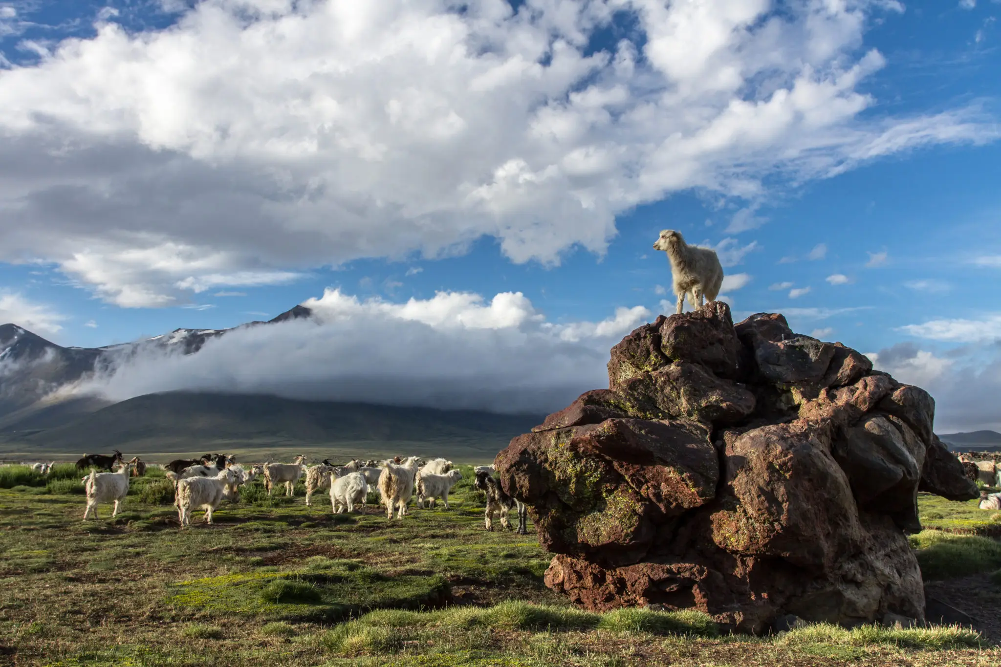
We want to highlight the warmth and friendliness of the transhumant herders, which invites us to listen to their stories and their way of life — worlds apart from our own, yet so alive and well established that it has built a whole community worth getting to know. On each of the 5 tours we offer, we can include a visit to one of them, to talk and learn the details of their way of life over some good mate and fried cakes.
Domuyo Geysers
Geysers are extremely hot waters that surface under great pressure from deep within the earth, travelling along underground fractures in the rock. On contact with the cold air they produce the characteristic jets of steam — here up to 1 metre high — making them one of the most striking natural attractions in northern Neuquén, close to the ever-present Domuyo volcano.
They are reached along a track used only by the four or five transhumant families living in the area and by the regional forestry workers. The drive itself is a marvel, thanks to the beauty of the permanent snow and the capricious outline of the landscape. From far away you can already make out the steam rising from the ground — an unmistakable sign that you are on the right route.
Nearby is the summer settlement of Don Argentino Ortega, whose home stands out both for its tidiness and for the way it blends into the landscape, concealing any human intervention. It is worth pausing to admire it for an accurate sense of his way of life.
We suggest bringing food and drink, or buying it in Las Ovejas, and packing warm clothing. Leaving at 9 am you can comfortably be back by 2 or 3 pm. Remember to set out with a full tank of fuel and a spare tyre in good condition.
It is just 89 km from Huinganco, surrounded by beautiful scenery.
- Route
- Around 180 km round trip
- Vehicle
- Depending on the season, any type of vehicle can make the trip without major difficulty.
- Departures
- From late autumn to mid-spring the route is impassable due to accumulated snow.
- Coordinates
- 36°41’43.77’’S y 70°32’27.26’’O View on Google Maps →
There is no name to identify it on Google Maps, but you take the track immediately after passing the Atreuco river gorge.
Navarrete Lagoon
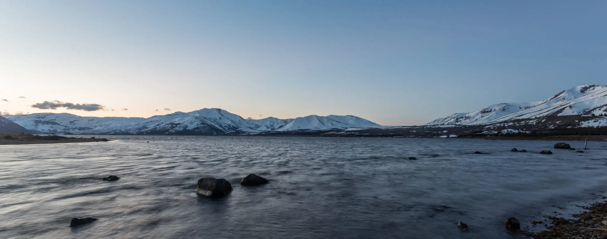
To reach this lagoon you follow the track that the transhumant herders carve out year after year on their way to and from their summer pastures.
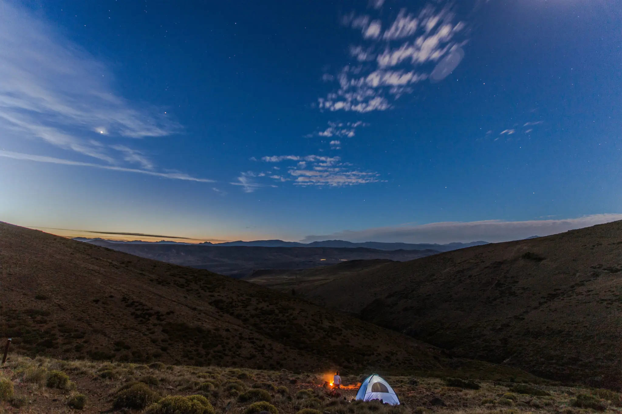
It is one of the most beautiful and least known places in northern Neuquén. Its beauty is not limited to the lagoon itself: the entire route is a scenic marvel. The geographic and chromatic diversity is striking throughout, prompting you to stop constantly to take in the details. At two or three points you have to ford the river that accompanies much of the route, adding a wonderful sense of adventure with no real danger or risk.
Leaving from Huinganco you travel 115 km — 40 on asphalt and the rest on dirt — to reach Manzano Amargo and climb to La Fragua, where you cross one of the many Corfone forests to arrive at the Llao Llao Forest. From there it is another 45 km to your destination.
Since the last stretch is an uneven track with some steep climbs, a pickup truck is recommended: not necessarily 4×4, but high-clearance and in good condition.
We suggest bringing food and drink, or buying it in Las Ovejas, and packing warm clothing. Leaving at 9 am you can comfortably be back by 4 or 5 pm. Remember to set out with a full tank of fuel and a spare tyre in good condition.
- Route
- Around 230 km round trip
- Vehicle
- A high-clearance vehicle is required, preferably four-wheel drive.
- Departures
- From early spring to the beginning of autumn.
- Coordinates
- 36°32’50.80’’S y 71°01’06.52’’O View on Google Maps →
Llao Llao Forest
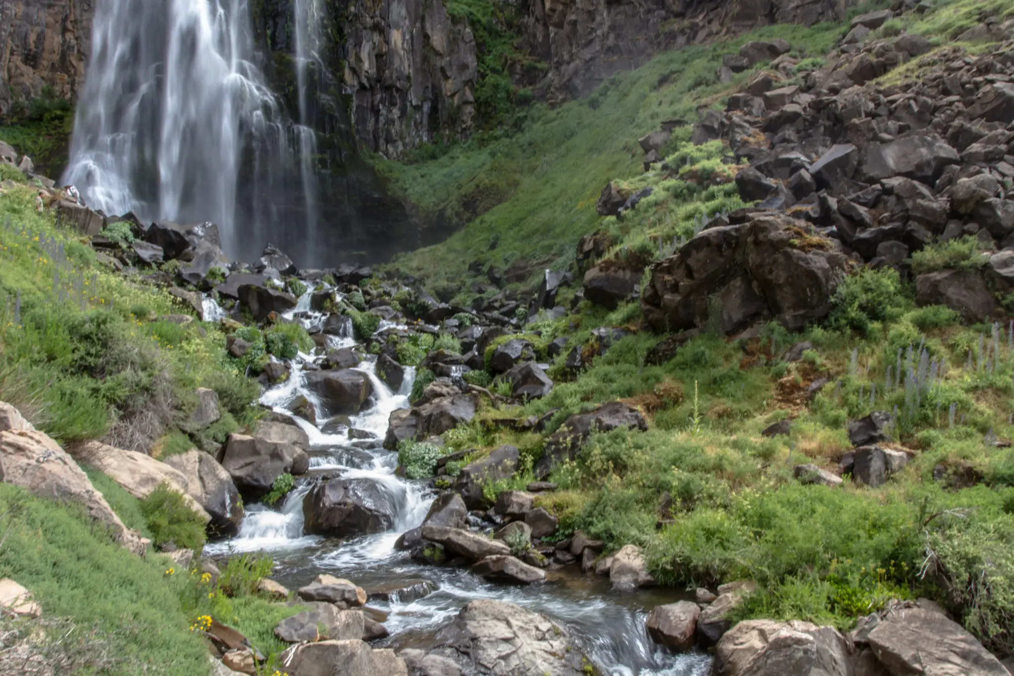
The llao llao is a fungus that parasitises the trees of our mountain range. It is orange and edible. It leaves behind pronounced swellings on the trunks of the trees it inhabits.
Near Manzano Amargo there is a beautiful campsite set within this forest, where you can spend the day and enjoy the whole setting.
From Huinganco you head to Manzano Amargo, climb the road to La Fragua waterfall and continue along the forest road — 79 km in total. The track is signposted and the drive is a delight, offering views of the source of the waterfall, which rises from the stream of the same name. There is no way to get lost, nor any desire to turn back, so lovely and picturesque is all of it.
To enter the forest you cross a small log bridge and, all of a sudden, the magic of the place appears. If you feel like walking and getting a little muddy, following the stream uphill will bring you to some dreamlike waterfalls. Do not miss it.
We suggest bringing food and drink, or buying it in Las Ovejas, and packing warm clothing. Leaving at 9 am you can comfortably be back by 5 or 6 pm. Remember to set out with a full tank of fuel and a spare tyre in good condition.
- Route
- Around 160 km round trip
- Vehicle
- Depending on the season, any type of vehicle can make the trip without major difficulty.
- Departures
- From late autumn to mid-spring the route is impassable due to accumulated snow.
- Coordinates
- 36°46’15.95’’S y 70°46’51.00’’O View on Google Maps →
There is no name on Google Maps to identify it; the closest is La Fragua waterfall.
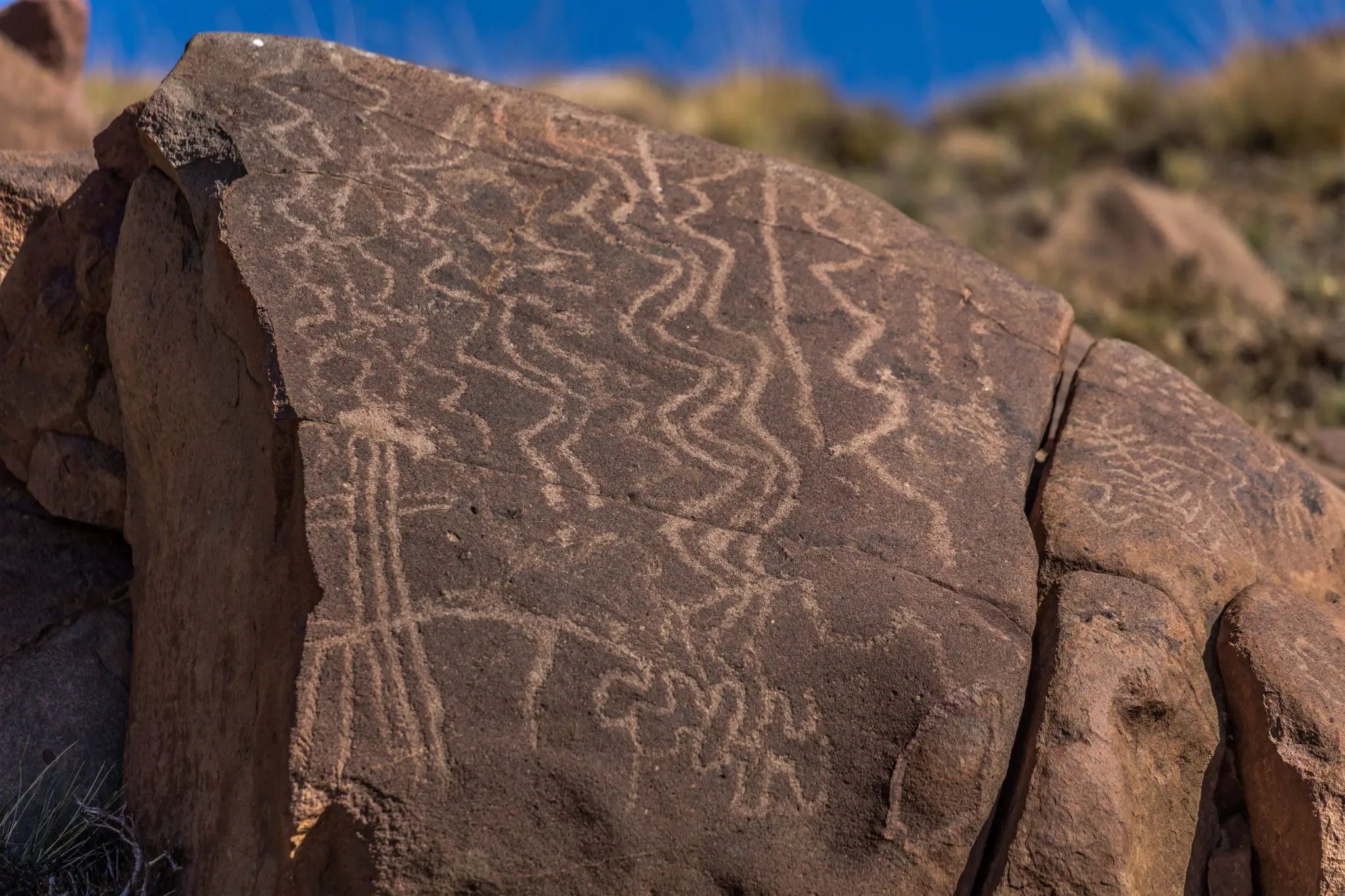
Colomichico
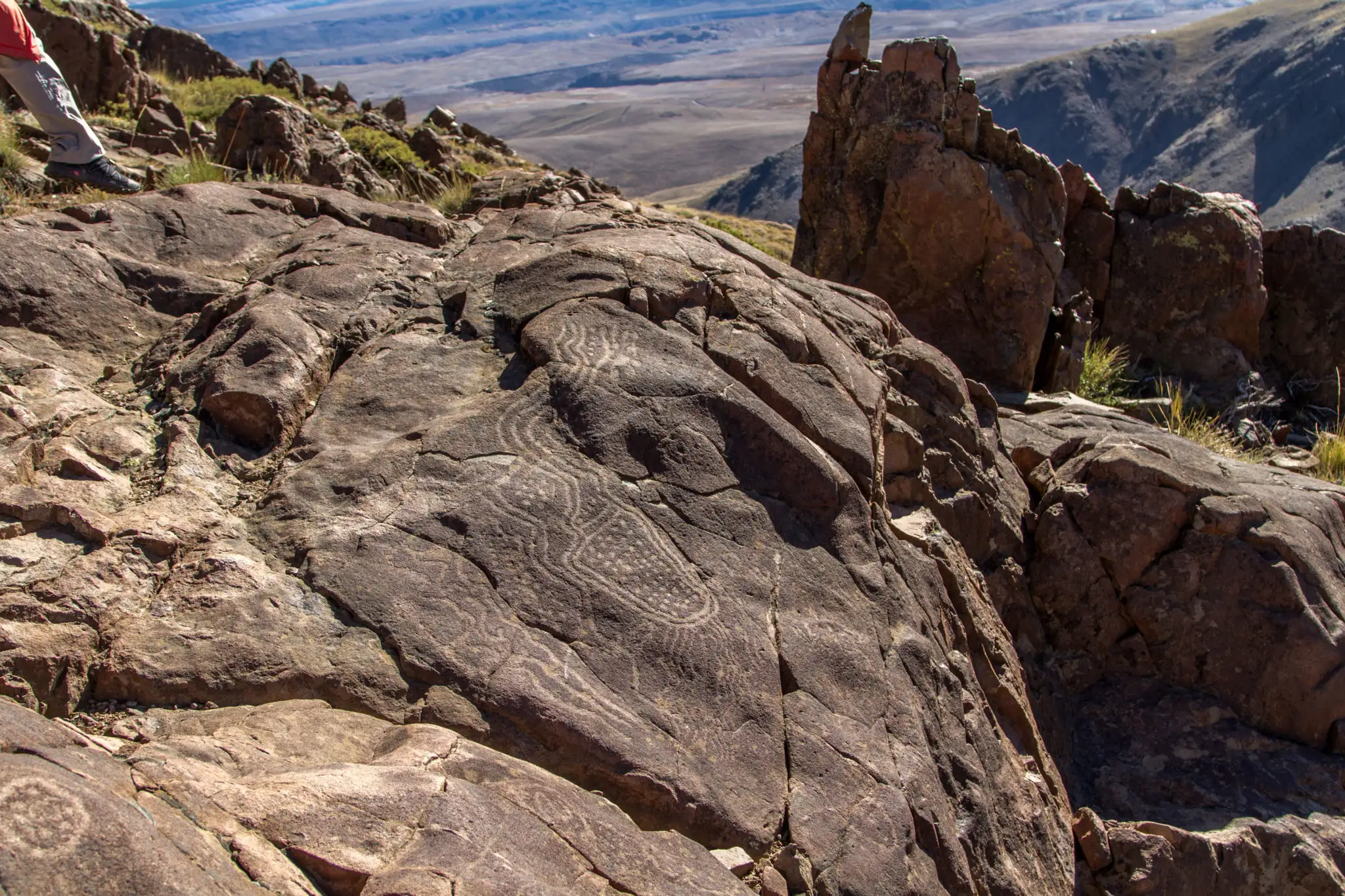
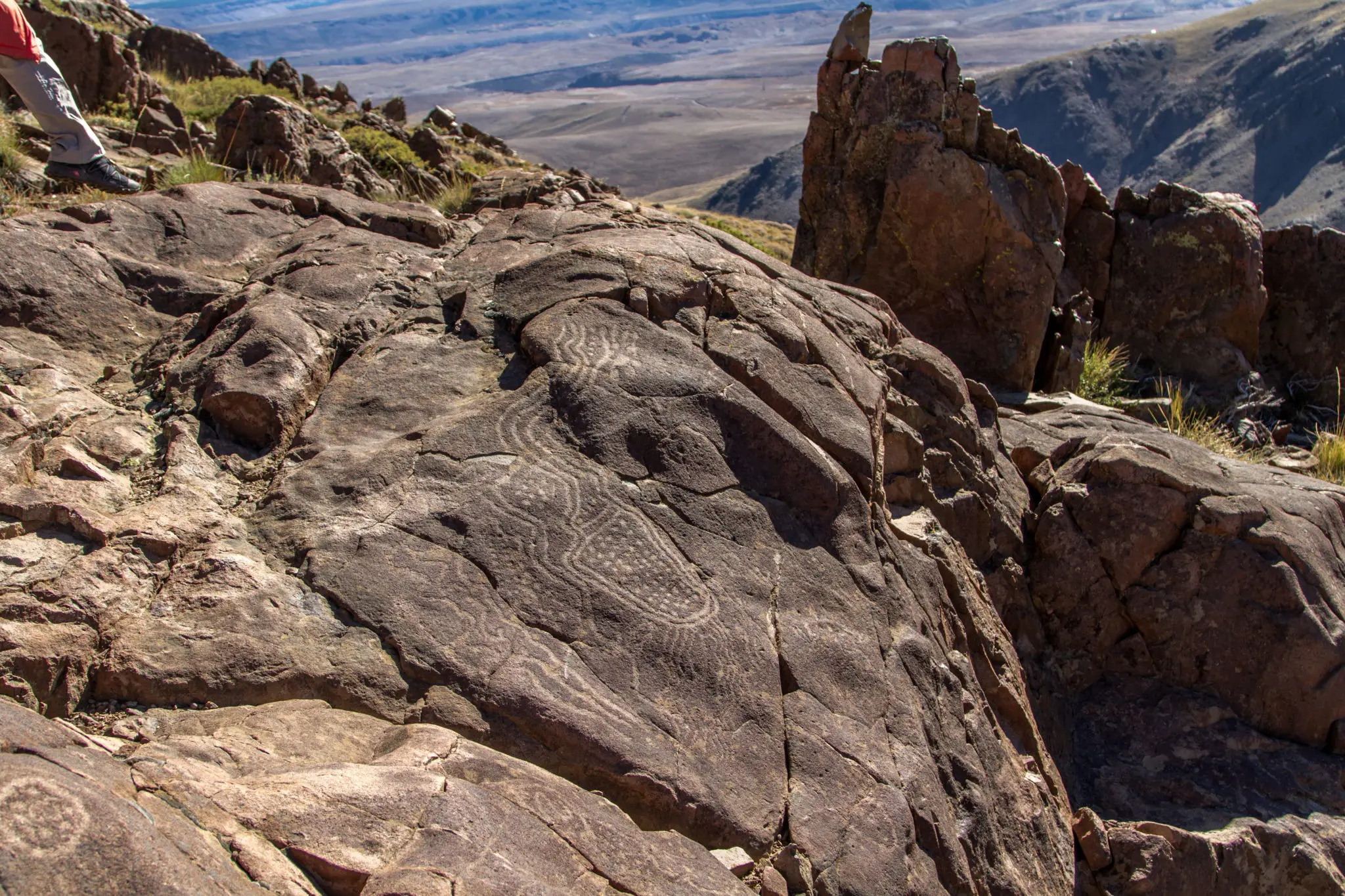
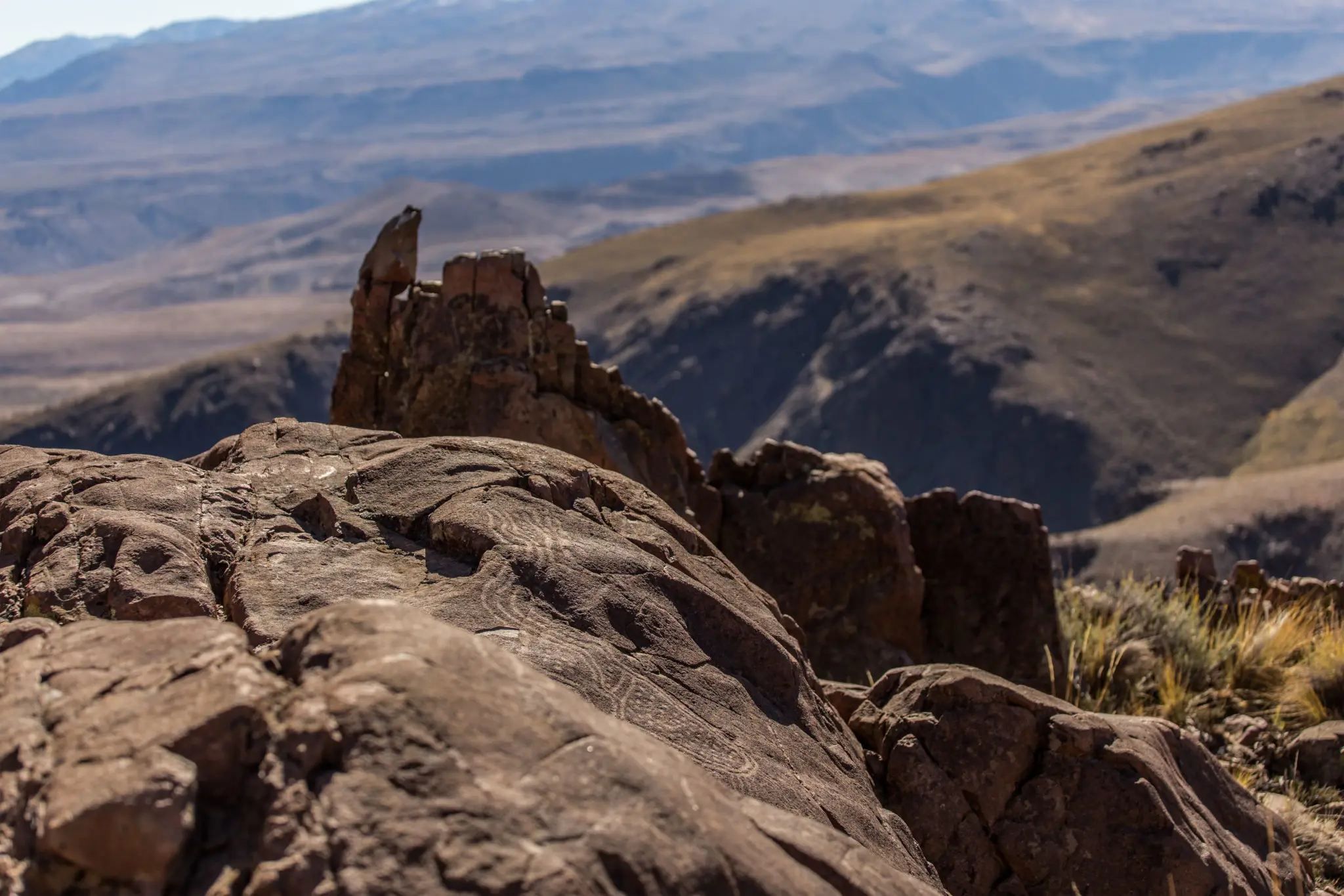
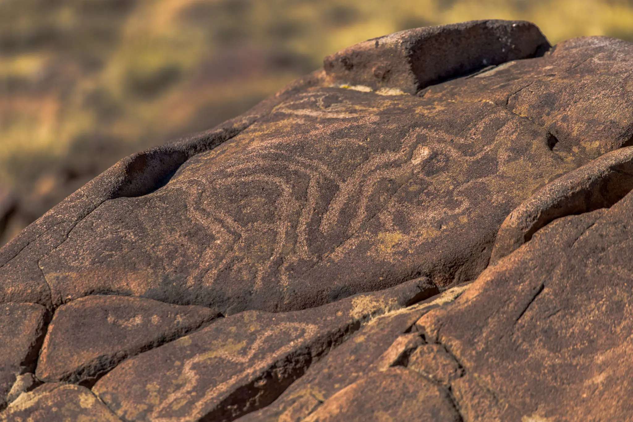
The appeal of this site lies in the stones carved some 1,600 years ago by the Pehuenche or pre-Pehuenche peoples. Some suspect that, regardless of who carved them, they show Inca influence.
This is one of the most remarkable excursions, because you can see human work carried out so many years ago that still survives intact. To visit it we work with Doña Delia Aguilera, a guide licensed by the province of Neuquén, with deep knowledge of the history of this place.
Part of the route — around 2,000 metres there and back — must be done on foot along a path without major difficulty.
- Route
- Round trip: around 120 km
- Vehicle
- Depending on the season, any type of vehicle can make the trip without major difficulty.
- Departures
- All year round.
Río Turbio
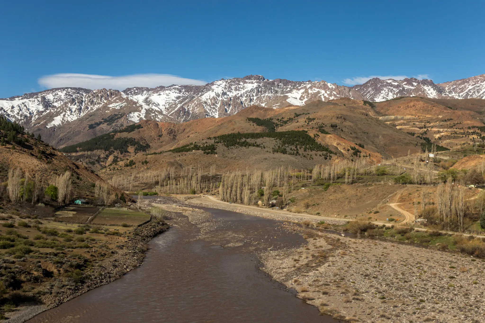
This is another of the most charming and least known places in northern Neuquén. The Turbio river flows into the Varvarco. The former rises from a glacier on the Domuyo volcano and, as its name suggests ("turbio" means murky), its water is muddy, clouding the water of the Varvarco, which rises crystal clear in the lagoons of the same name a little further up.
To get there you travel about 130 km from Huinganco, passing through Varvarco and continuing along route 43 to Ailinco, entering one of the most beautiful gorges in the province: at times steppe or wet meadows, at times narrow canyons or vast open spaces, but always accompanied by the mountain range, where you can enjoy the small waterfalls that fill the Varvarco river as the snow melts. Its geography and colours change constantly.
To take in the full route it is worth continuing to Varvarco Tapia lagoon, a few kilometres further on, where the Varvarco river begins before flowing into the Neuquén river at the town of Varvarco.
After passing the hamlet of Ailinco — whose small chapel hosts the picturesque feast of the Virgin of Lourdes every 12 February — the road narrows until at times it is only a beautiful track, turning the drive into an unmatched adventure with no risk or danger. At two or three points you also have to ford the Varvarco river, without difficulty.
It is common to come across a transhumant herder along the way, and it is a real pleasure to talk with them about their life and customs, so different from our own. Unassuming, warm, welcoming and talkative.
We suggest bringing food and drink, or buying it in Las Ovejas, and packing warm clothing. Leaving at 9 am you can comfortably be back by 4 or 5 pm. Remember to set out with a full tank of fuel and a spare tyre in good condition.
- Route
- Round trip: around 260 km
- Vehicle
- Depending on the season, any type of vehicle can make the trip without major difficulty.
- Departures
- From mid-spring to the beginning of autumn.
- Coordinates
- 36°26’26.58’’S y 70°36’34.18’’O View on Google Maps →
Varvarco Tapia or Varvarco Campo lagoon.